Free Sources of LiDAR Data

What is LiDAR?
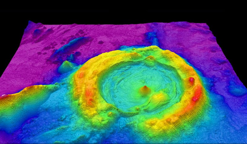
Light Detection and Ranging (LiDAR), is a remote sensing technology used to measure distances and create detailed 3D representations of the Earth's surface and objects on it. It employs laser pulses to measure the distance between the sensor and the target, allowing it to accurately map the topography of landscapes and the shape of various objects.
Sources of Free LiDAR Data
USGS 3D Elevation Program (3DEP)
The United States Geological Survey (USGS) provides free LiDAR data for various regions in the United States.
Source: https://www.usgs.gov/3d-elevation-program
OpenTopography
OpenTopography is a platform that offers access to a wide range of LiDAR datasets from different areas around the world.
Source: https://opentopography.org/
NOAA Digital Coast
The National Oceanic and Atmospheric Administration (NOAA) provides LiDAR data for coastal regions of the United States.
Source: https://coast.noaa.gov/digitalcoast/data/coastallidar.html
US Interagency Elevation Inventory (IEI)
The US IEI provides a comprehensive inventory of publicly available LiDAR data for various locations.
Source: https://coast.noaa.gov/inventory/
The National Map (TNM)
This is a collaborative effort between the USGS and other federal, state, and local agencies that provides free access to various geospatial datasets, including LiDAR data.
Source: https://apps.nationalmap.gov/lidar-explorer/#/
European Data Portal
The European Data Portal offers access to various geospatial datasets, including LiDAR data, from different European countries.


