United States Geological Survey (USGS) Geospatial Data Sources

The United States Geological Survey (USGS) is a scientific agency within the U.S. Department of the Interior that studies and reports on natural resources and the environment. The USGS provides information on this topic and many others via its website, publications, data sets and other products.
The USGS is a scientific agency of the United States government. It has been in operation since 1879 and provides information to customers, who include the general public and federal agencies. USGS's vision is to:
"Lead the Nation in 21st-century integrated research, assessments, and prediction of natural resources and processes to meet society’s needs."
Its mission is to study and report on natural resources and the environment.
The USGS's mission is to study and report on, primarily, natural resources and the environment. It provides scientific data regarding natural hazards, water quality, topography and climate change. The USGS also provides information on the nation's ecosystems and land cover patterns so that they can be used as a management tool for national security purposes.
It provides scientific data regarding natural hazards, water quality, topography and climate change.
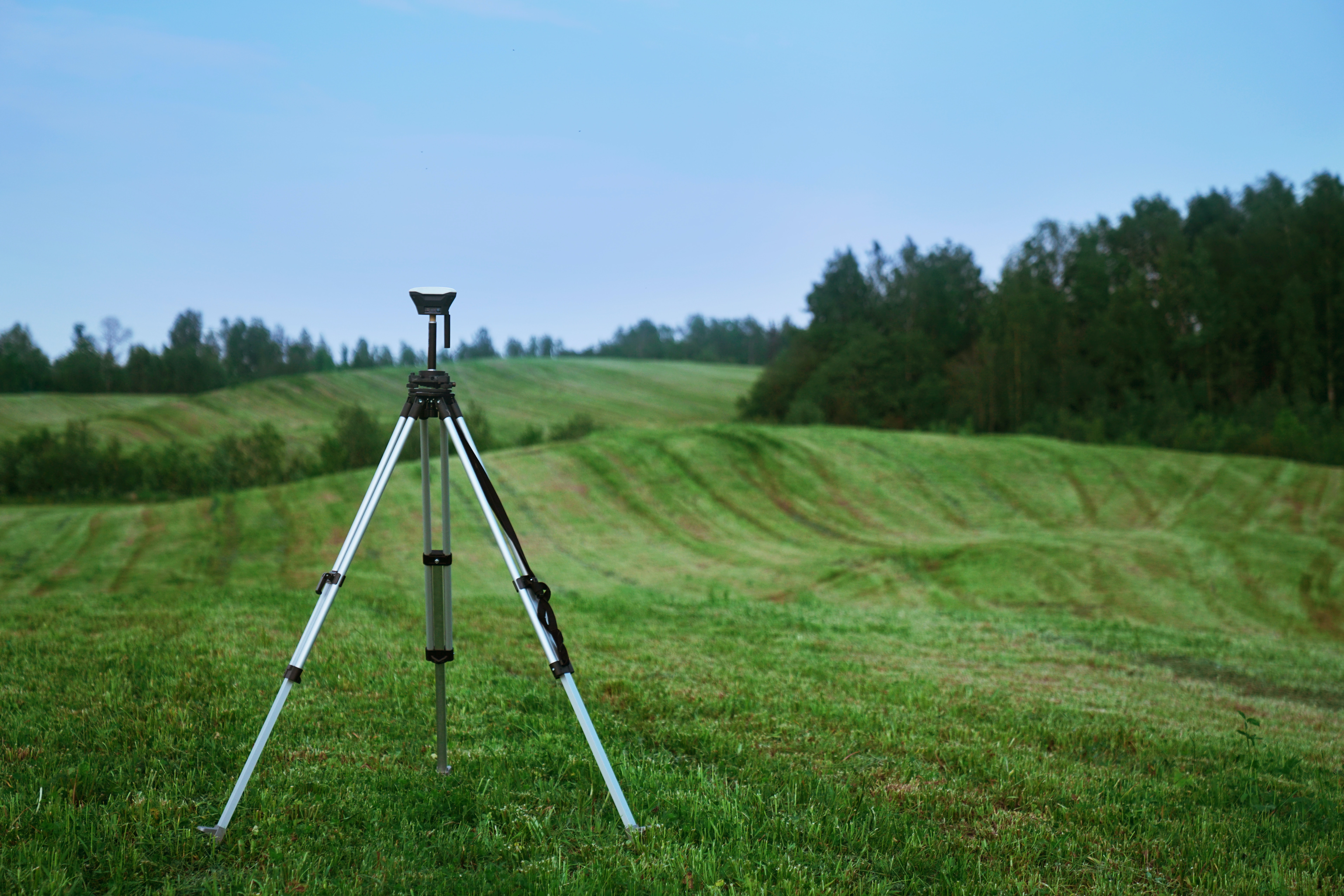
The USGS operates over 250 different facilities around the country, with offices located in every state and territory. These offices are run by scientists who collect, analyze and interpret data on natural hazards such as earthquakes or volcanic eruptions; water quality conditions, especially those related to drinking water supplies; coastal changes caused by erosion or flooding; land use planning decisions such as those related to agriculture; subsurface mineral exploration for energy production purposes; global climate change trends; mapping for national security applications like military bases and missile silos and nuclear weapons; geological surveys designed specifically for private investors interested in buying lots of land.
USGS GIS Data Sources
These sources can be loaded into QGIS and ArcGIS applications by establishing a ArcREST service connection.
Search Underlying Datasets From These Sources
If you would like to search the layers and datasets contained within these sources then check out the best geospatial search engine on the market right now. GISData.io is a geospatial search engine built by the same team that built this website. It enables you to search for layers and datasets from all of these sources in one place.
Conclusion
The USGS, a scientific agency of the United States government, is a valuable resource for anyone who needs to know about natural resources in the country. It provides information on everything from earthquakes and volcanoes to sea-level rise. The USGS also produces reports on things such as climate change and hazardous waste disposal sites.


