What is Universal Traverse Mercator (UTM)

The Universal Traverse Mercator (UTM) is a system used to represent locations on the Earth's surface. It's like a grid system that divides the world into small rectangles, and each rectangle is assigned a unique set of coordinates.This makes it easier to find and communicate specific locations accurately.
Grid Division
Imagine you have a huge piece of paper covering the entire Earth's surface. The UTM divides this paper into a grid of rectangles.
Each rectangle represents a specific portion of the Earth, and they are numbered for easy identification.
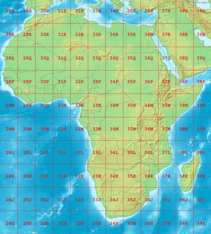
Zones
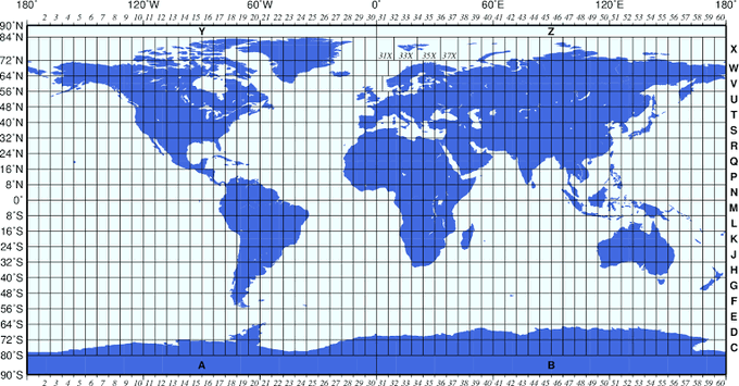
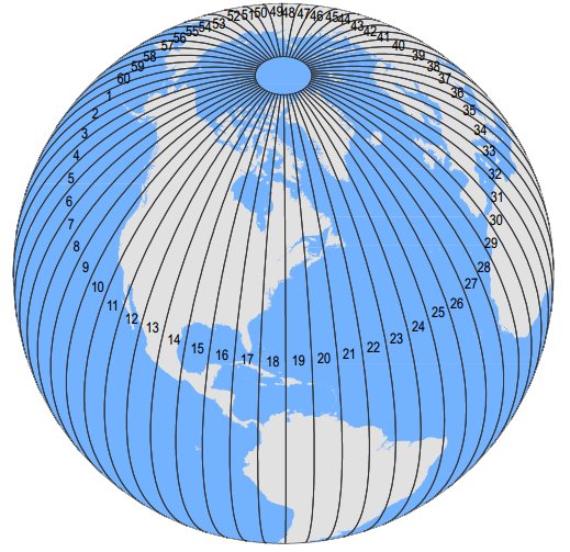
The Earth is divided into 60 horizontal bands, called "zones," each approximately 6 degrees of longitude wide. These zones are numbered from 1 to 60, starting from the International Date Line in the Pacific Ocean.
Coordinate System
Within each zone, a coordinate system is used to pinpoint locations. This system is based on two values: easting and northing. Easting measures how far east or west a location is from a central meridian within the zone.
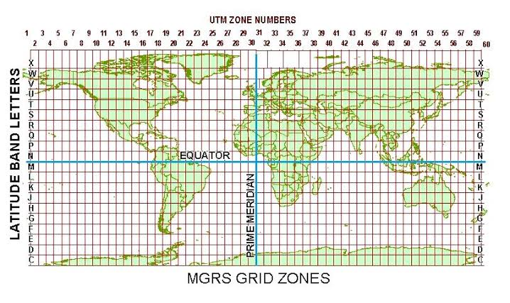
Northing measures how far north or south a location is from the Equator.
Units
The units used for easting and northing are typically in meters. So, instead of using degrees, which are used in latitude and longitude, we use meters for more precise measurements
Coordinates for Locations
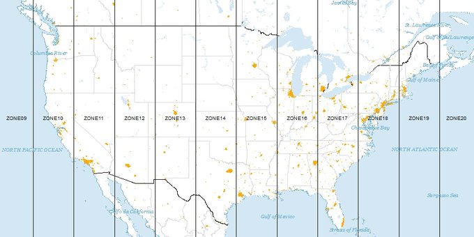
When you want to describe a specific location using the UTM system, you provide the zone number and its easting and northing values. For example, you might say a location is in Zone 33, with an easting of 500,000 and a northing of 4,000,000 meters.
Conclusion
UTM is widely used for navigation, mapping, and surveying purposes because it provides a standard and accurate way to communicate locations regardless of where you are on Earth. It's much simpler to use than latitude and longitude.


