Natural Earth GIS Data

Natural Earth is a GIS data package that has all the essential layers you need to create a map. For example, it has administrative, hydrographic, and general land information. Map scales are at 1:10m, 1:50m, and 1:110m.
Natural Earth gives a quick start map layout file as an ArcMap MXD and QGIS QGS file. With a double click of any of these map layouts, you get all the necessary files for a visually-pleasing cartographic map.
What Data is Contained?
Cultural Vector Data
Boundaries, Place names, Provinces. You will find a range of vector data specifically for different map scales. For example, it includes the following cultural features:
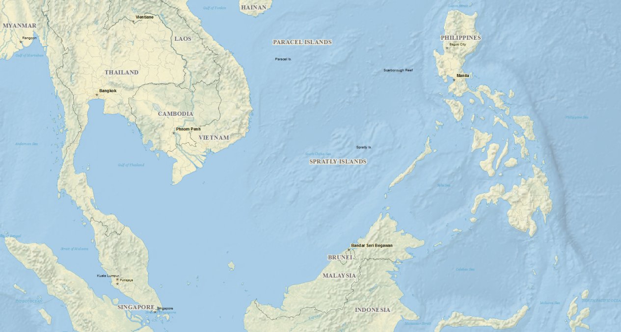
- Administrative boundary lines (countries, states, provinces, populated places, urban areas, and disputed areas)
- Transportation (airports, roads, railways, and sea ports) Geographic lines and graticules.
Physical Vector Data
For physical features, it contains a mix of hydrography, terrain, and ocean features. For example, it includes the following:
- Hydrography (Rivers, vers, and lakes)
- Terrain (Mountain peaks, major and minor islands)
- Ocean (Coastlines, coral reefs, etc).
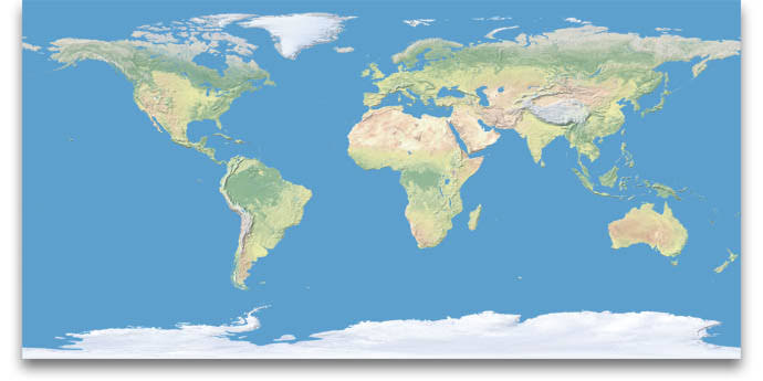
Raster Data
The raster data sets consist of low-resolution grids on a global scale. These are perfect for continental or global scale base maps. Cross-blended hypsometric tints Ocean bottom bathymetry Shaded relief and gray Earth
Base Map
Here are more reasons why you need Natural Earth in your repertoire. It contains most major map features (cultural, physical, and raster data) The data is public domain Its layers are aesthetically pleasing in vector and raster data format.