Where to Find a Digital Elevation Model (DEM)
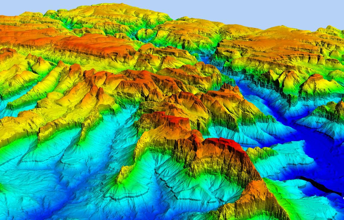
Digital Elevation Model (DEM) data is a foundational dataset with wide-ranging applications in the field of geospatial analysis. As a result, DEM data is an invaluable resource in numerous geospatial applications, including terrain analysis, hydrology, and visualization.
There are several sources for acquiring Digital Elevation Model (DEM), and the availability and resolution of the data may vary depending on the region and purpose. Here are some popular sources of DEM data:
NASA's Shuttle Radar Topography Mission (SRTM):
SRTM data is a global DEM dataset collected using radar technology onboard the Space Shuttle Endeavour in 2000. It provides high-resolution elevation data for most parts of the world, with 1 arc-second (approximately 30 meters) and 3 arc-seconds (approximately 90 meters) resolutions. (https://search.earthdata.nasa.gov/search?q=SRTM)
OpenTopography:
OpenTopography (opentopography.org) is a portal that provides access to a wide range of high-resolution DEM datasets from various sources, including LiDAR and SRTM data.
United States Geological Survey (USGS):
The USGS offers high-quality DEM data through the National Map (nationalmap.gov) and EarthExplorer (earthexplorer.usgs.gov). The National Elevation Dataset (NED) provides seamless DEM coverage for the United States.
European Space Agency (ESA) Data:
Copernicus DEM: The Copernicus Program offers high-resolution DEM data for Europe through the Copernicus Land Monitoring Service (land.copernicus.eu).
TanDEM-X: A radar mission by the German Aerospace Center (DLR) and Airbus, which provides high-resolution global DEM data. (https://earth.esa.int/eogateway/catalog/terrasar-x-tandem-x-full-archive-and-tasking)
Japan Aerospace Exploration Agency (JAXA):
JAXA's Advanced Land Observing Satellite (ALOS) and the Panchromatic Remote-sensing Instrument for Stereo Mapping (PRISM) have generated high-resolution DEM data for various regions. (https://earth.esa.int/eogateway/missions/alos#data-section)


