Unlock the Secrets of GIS Mapping: A Comprehensive Guide
GIS mapping, or Geographic Information Systems mapping, is a powerful tool for understanding and analyzing spatial data. It is used in a wide range of industries, from urban planning and natural resource management to marketing and transportation. In this guide, we will explore the basics of GIS mapping and how it can be used to unlock insights and drive better decision-making.
What is GIS Mapping?
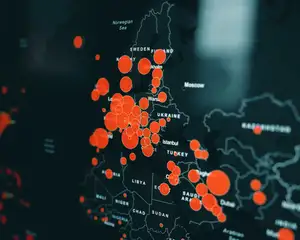
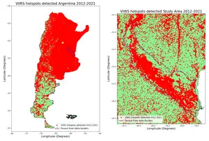
At its core, GIS mapping is a way to visualize and analyze data that has a geographic component. This can include anything from population density and land use patterns to weather patterns and crime rates. GIS mapping software allows users to overlay different layers of data, such as satellite imagery or street maps, and then analyze and manipulate that data to gain insights and make decisions.
The Benefits of GIS Mapping
One of the key benefits of GIS mapping is its ability to reveal patterns and relationships in data that may not be immediately apparent. For example, a GIS map of population density may reveal a correlation between high population areas and areas with high levels of air pollution. This information can then be used to inform policy decisions, such as where to target air quality improvement efforts.
GIS mapping is also a valuable tool for decision-making in a wide range of industries. In urban planning, for example, GIS maps can be used to identify potential sites for new development, assess the impact of proposed projects on the surrounding area, and plan for future growth. In the field of natural resource management, GIS mapping can be used to monitor and manage resources such as forests, water, and minerals.
Getting Started with GIS Mapping
To get started with GIS mapping, you will need a computer with GIS software installed and access to spatial data. There are many different GIS software options available, both free and paid, including open-source options like QGIS and commercial options like ArcGIS. Once you have the software, you can begin importing data and creating maps.
One of the most important steps in getting started with GIS mapping is finding and acquiring high-quality data. There are many sources of spatial data available, including government agencies, universities, and private companies. It is important to ensure that the data you use is accurate and up-to-date, as well as in the appropriate format for your GIS software.
Advanced GIS Mapping Techniques
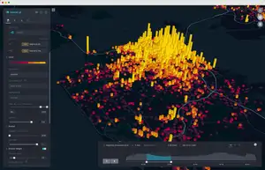
As you become more familiar with GIS mapping, you may want to explore more advanced techniques. For example, you can use GIS to create 3D maps and models, incorporating information such as elevation and building heights. You can also use GIS to create animations and simulations, such as visualizing the spread of a wildfire or the impact of a proposed development on traffic patterns.
Another advanced technique is using GIS for spatial analysis. This allows you to use GIS tools to analyze patterns, relationships, and trends in your data. For example, you can use GIS to identify clusters of high crime rates, or to analyze how land use patterns are related to population density.
Conclusion
GIS mapping is a powerful tool that can be used to unlock insights and drive better decision-making in a wide range of industries. With its ability to reveal patterns and relationships in data, GIS mapping is a valuable tool for urban planning, natural resource management, and much more. By getting started with GIS mapping, you can begin to explore the potential of this technology and unlock the secrets of your data.


