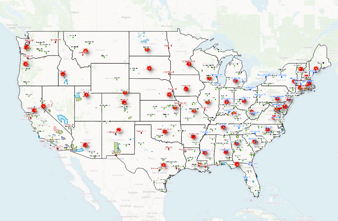
Department of Defense Geospatial Data Sources
DOD GIS Data Sources
These sources can be loaded into QGIS and ArcGIS applications by establishing a ArcREST service connection.
Search Underlying Datasets From These Sources
If you would like to search the layers and datasets contained within these sources then check out the best geospatial search engine on the market right now. GISData.io is a geospatial search engine built by the same team that built this website. It enables you to search for layers and datasets from all of these sources in one place.


