"On September 29, the National Geodetic Survey (NGS) began collecting aerial damage assessment images in the aftermath of Hurricane Ian. Imagery is being collected in specific areas by NOAA aircraft, identified by NOAA in coordination with FEMA and other state and federal partners."
Why is the data important? Aerial imagery can be expensive to collect and process over large areas and in emergency response situations it can be critical in making decisions. Having a federal agency be able to quickly collect, process and desseminate this critical data makes rescue response decision making more informed.
"NOAA's aerial imagery aids safe navigation and captures damage to coastal areas caused by a storm. Aerial imagery is a crucial tool to determine the extent of the damage inflicted by flooding, and to compare baseline coastal areas to assess the damage to major ports and waterways, coastlines, critical infrastructure, and coastal communities. This imagery provides a cost-effective way to better understand the damage sustained to both property and the environment."
How to access the data https://storms.ngs.noaa.gov/
This link will take you to the index page with all of the Emergency Response Imagery links going back to 2003. The imagery can be viewed online with two different basemap options being MapBox Streets or MapBox Satelite to examine what areas looked like before the listed event. The data is also available for download with a "Download" button on the top menu bar. It is also possible to connect your own GIS to the data source via WMTS (Web Map Tile Service) by clicking "About" then "Web Services" for the link.
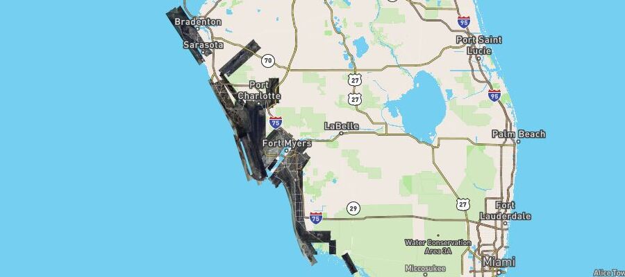
Analyzing imagery from the Hurricane Ian 2022 Hurricane Ian hit southwest Florida in late September 2022. Using the online viewer for Hurrican Ian aerial imagery we will look at some images of before and after the storm.
A marina in Matanzas Pass in the Fort Myers area before hurricane Ian 2022. The same marina in Matanzas Pass after hurricane Ian 2022 showing destroyed docks and piled up boats. We can clearly see massive damage to the marina and the boats that are docked there. It is also worth noting that the the dock and boats have been pushed up onto the mangrove forest to the right causing environmental damage.
A RV/Mobile home park in the Fort Myers Beach area before hurricane Ian 2022. The same RV/Mobile home park after hurricane Ian 2022 showing extensive property damage. Looking at this image you can cleary tell that just about every single building was washed away and destroyed within this mobile home and rv park. Thoughts and prayers go out to everyone that called this place home and we can only hope that they were able to evacuate to somewhere safer to wait out the storm.
A residential area in Placida before hurricane Ian 2022. The same residential area in Placida after hurricane Ian 2022 showing property damage. A quick glance shows that about about fifty to sixty percent of the houses sustained some damages while another twenty to thirty percent seem to be completely destroyed. It is no surprise that all of these coastal areas hit directly by the storm were damaged severly. There are no official figures yet but it is looking like Ian may be one of the worst hurricanes in history in terms of property damage costs.